
Geoinformatics in SchoolClassrooms
An Interdisciplinary Flagship Project | Exploring Public Space Through Different «Lenses»
Project
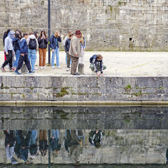
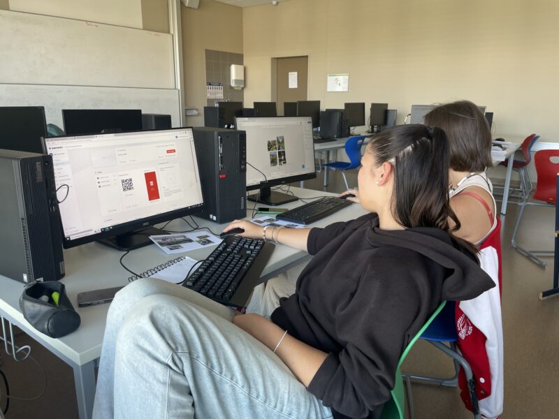
«Geoinformatics in School Education» is an innovative, interdisciplinary project that uses geographic information systems (GIS) in combination with augmented reality (AR) environments to provide outsiders with an immersive look at public spaces. The resulting outcomes include teaching materials on the topics of GIS and AR, as well as a case study on the suitability of GIS for upper-level high school students.
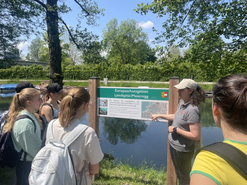
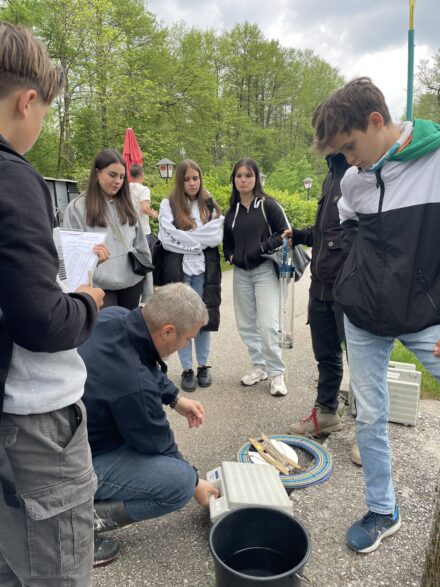
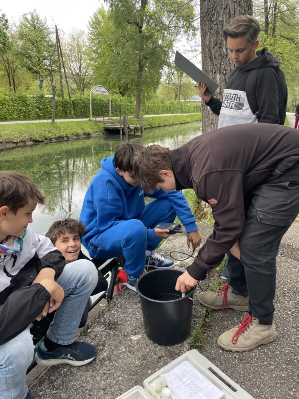
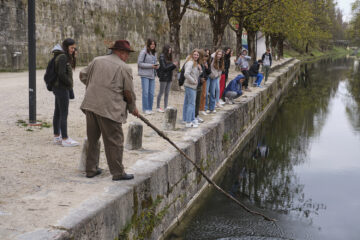
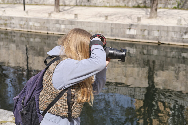
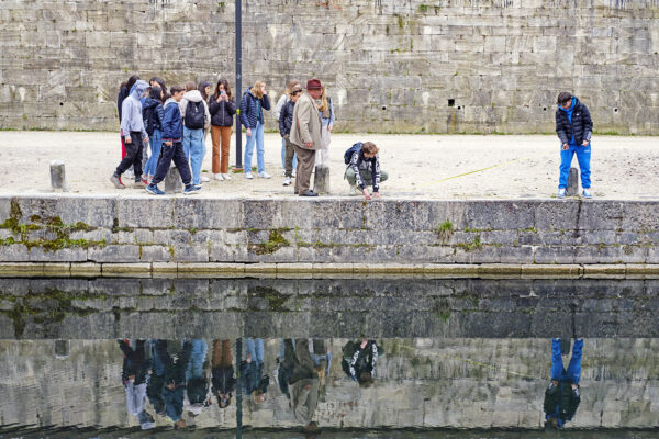
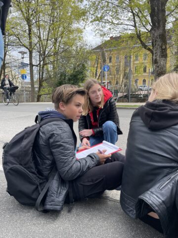
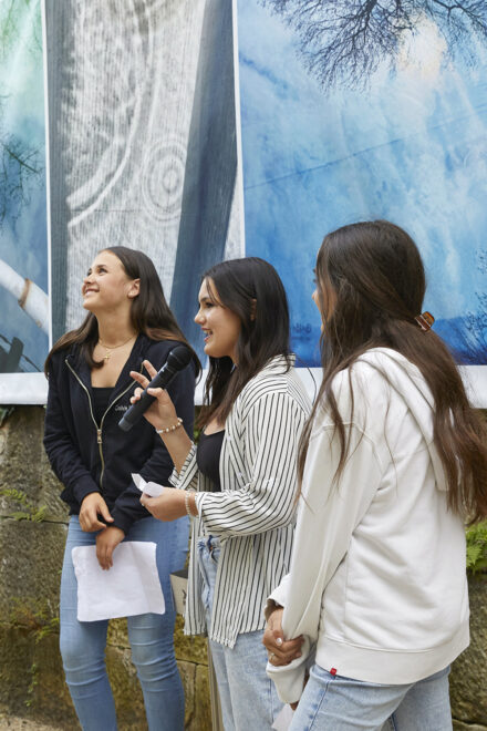
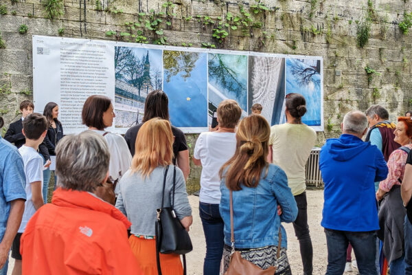
Over the course of a year, the students in the Kugy-AHS class at the BG/BRG for Slovenes, under the guidance of Mag. Aloisia Gomez Segovia, are exploring the urban space of Klagenfurt’s Lendhafen from various perspectives. The project incorporates the subjects of geography, economics, biology, physics, history, and visual arts, as well as the languages Slovenian, German, Italian, and English, and relates them to the study area. Their research is documented and digitally processed so that it can be presented to a broad audience at the conclusion of the project. To this end, the research results will be displayed and made accessible both physically on large banners and digitally in the form of AR tags.
Organization & Info
Aloisia Gomez, M.A.
goa@bgslo.at
Federal High School and Federal Secondary School for Slovenes
Prof.-Janezic-Platz 1
9020 Klagenfurt am Wörthersee
Competency Model
Using the GECKO platform, the competency model outlines the skills that students can acquire as part of the project.
Downloads & Resources
All content as well as learning and teaching materials are licensed as Open Educational Resources (OER) under the Creative Commons license CC BY-NC-SA 4.0 and may only be shared or edited under the following three conditions: Attribution – Non-commercial – Redistribution under the same conditions.
Highlights

Funding Agency
The initiative was supported and facilitated as a project within the Educational Innovation Lab for Sustainable MINT (EIL4MINT) at the Educational Lab. EIL4MINT is funded by the Innovation Foundation for Education and implemented as part of the FFG program«Innovation Labs for Education.»
Co-funding organizations:
, Lakeside Science & Technology Park GmbH, University of Klagenfurt, Carinthia Department of Education, Carinthia University of Teacher Education, Carinthia University of Applied Sciences
